


SEAGRASS MAPPING
Open Ocean Robotics recently conducted a case study on eelgrass beds in, Victoria, BC, Canada. The aim was to gather detailed information about the eelgrass density and coverage in this important ecological area.
Open Ocean Robotics used their solar-powered Uncrewed Surface Vehicle (USV), the DataXplorer™, to carry out this study. When equipped with the Ping 3DSS-iDX-450, a high-resolution 3D sidescan sonar system, this autonomous vehicle becomes a powerful tool for detailed seagrass surveys.
By leveraging this advanced technology, marine scientists and conservationists can better understand seagrass distribution, monitor changes over time, and develop targeted strategies for protecting these essential carbon-capturing ecosystems. DataXplorer™ provides a sustainable, non-intrusive, and efficient solution for long-term environmental monitoring. To learn more about how DataXplorer™ supports environmental research, visit our Environmental Market page
Seagrass Mapping: A Crucial Tool for Marine Conservation
Seagrass meadows are highly productive ecosystems that can store up to five times as much carbon as forests. A square meter of seagrass removes about half a pound of carbon from the atmosphere each year, which is more than tropical rainforests, temperate forests, and grasslands.
Mapping seagrass can help measure existing carbon stocks and prioritize restoration efforts to increase carbon sequestration. This information can help jurisdictions meet greenhouse gas and climate adaptation goals. Mapping can also help researchers understand the dynamics of the system, such as loss and gain rates, which can help justify carbon market projects.
The importance of seagrass mapping has grown significantly in recent years, driven by the critical role these ecosystems play in carbon sequestration and marine biodiversity. As "blue carbon" habitats, seagrass meadows are essential in mitigating climate change, yet they face rapid destruction worldwide. To protect and restore these vital areas, accurate mapping and monitoring are paramount.
GOALS

HIGHLIGHTS
Open Ocean Robotics successfully completed an eelgrass mapping project in Victoria, BC, Canada. The DataXplorer™ mapped approximately 42.3 hectares in just two hours. This achievement demonstrates the DataXplorer™'s capability in accurately mapping eelgrass, a critical task for understanding the distribution and health of these vital underwater ecosystems. Monitoring eelgrass is crucial for maintaining biodiversity, supporting marine life, and mitigating coastal erosion.
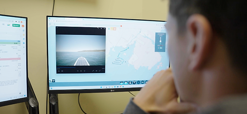
The video below is an animation of SonarWiz showcasing 3D side scan, bathymetry, and habitat assessment.

See the results


RESULTS
Autonomous Mission Plans

The mission was carefully planned with designated waypoints, facilitating straightforward setup and execution. Upon reaching Oak Bay Marina, the USV autonomously mapped the area. This approach simplified the task and demonstrated the excellent line following capabilities

.png)
Remote Operations

The USV was operated by shore-based pilots in Victoria, BC and data was transmitted in real-time to both Open Ocean Robotics’ and Ping DSP in Sidney, BC.
Bathymetry

The 3DSS- IDX-450 sonar is a reliable tool for shallow water hydrographic surveys, offering advantages in terms of size, swath width and power consumption.

Sidescan

Using the CAATI methodology raw data points are visualized in a point cloud display, creating a geometrically accurate 3D representation of a 2D side scan image. This point cloud can be rotated and manipulated to provide 3D views of object geometry in side scan imaging detail.

Seagrass Variability

Seagrass meadows are highly productive ecosystems that can store up to five times as much carbon as forests. A square meter of seagrass removes about half a pound of carbon from the atmosphere each year, which is more than tropical rainforests, temperate forests, and grasslands.

CLIENTS & PARTNERS
